
Federal structure of Russia. Physical map of Russia. Within new boundaries. A2
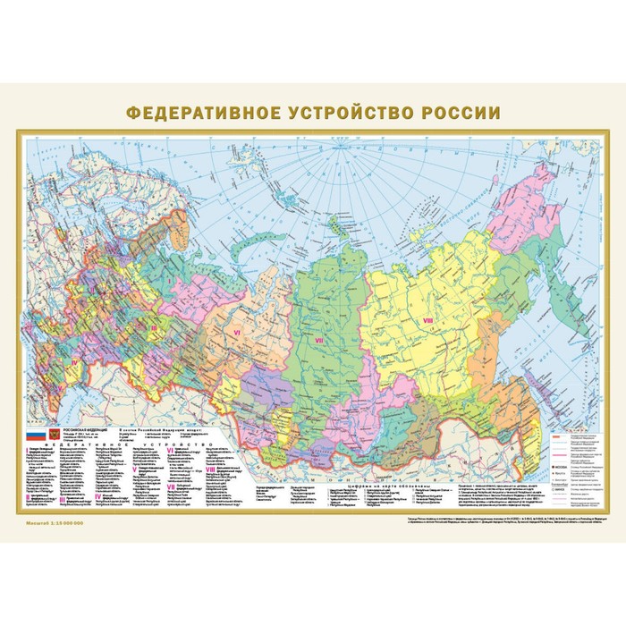
Double -sided map covered with a polymer film has a size of 575x420 mm. It presented two cards of Russia in a scale of 1:15,000,000 (1 cm 150 km) - the physical map of Russia and the “Federal structure of Russia” map. On a physical map, using the color scale of heights and depths, the alternation of various types and forms of relief in Russia and surrounding states is clearly reflected. Punch with high -altitude marks shows the highest peaks of the main mountain systems. A hydrological network (rivers, swamps, lakes, reservoirs) is given in sufficient detail. In the seas surrounding Russia, warm and cold currents, as well as the border of winter pack ice, are shown.
All 89 constituent entities of the Russian Federation, including the Republic of Crimea and Sevastopol, Donetsk and Lugansk People’s Republics, Zaporizhzhya and Kherson regions, with their capitals and centers are presented on the updated map of Russia. The constituent entities of the Russian Federation are grouped in 8 federal districts. The mains of railway and automobile messages are shown.
The card is packed in a transparent sleeve from PVC. The dimensions of the package: length 420 mm, diameter 45 mm.
Recommended for a wide range of users.
| Characteristics | |
| A country | Russia |
| Age | From 6 years |
| Author | There is no author |
| Number of pages | 2 |
| The theme of the encyclopedia | Geography, travel |
| The year of publishing | 2023 |
There are no reviews for this product.