
Political map of the world with flags. Federal structure of Russia with flags, within new borders, A2
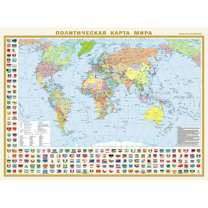
Double -sided map covered with a polymer film has dimensions of 575 mm x 420 mm. On one side there is a political map of the world on a scale of 1:80,000,000 (1 cm 800 km), on the other - the “Federal structure of Russia” map of 1:15,000,000 (1 cm 150 km). On the updated political map of the world, all independent states of the world are represented with their capitals, as well as possessions and territories with special status. The settlements on the map are given in three gradations of the number: more than 1 million inhabitants, from 100 thousand to 1 million, less than 100 thousand inhabitants. The map is framed by the official flags of the world states located alphabetically, which facilitates their search.
The new map “Federal structure of Russia” shows all 89 subjects of the Federation with their capitals and centers, including new - Donetsk and Lugansk People’s Republics, Zaporizhzhya and Kherson regions, the Republic of Crimea and Sevastopol. The constituent entities of the Russian Federation are grouped in 8 federal districts. The colorful framing of the map is the flags and emblems of the republics, regions, regions, autonomous formations and cities - constituent entities of the Russian Federation.
Recommended for a wide range of users.
| Characteristics | |
| A country | Russia |
| Author | There is no author |
| Format | A2 |
| Number of pages | 2 |
| School subject | Geography |
| The subject of the book | Natural Sciences |
| The year of publishing | 2023 |
There are no reviews for this product.