
Contour maps. 8th grade. Russian history. To the textbook Torkunova A.V. GEF
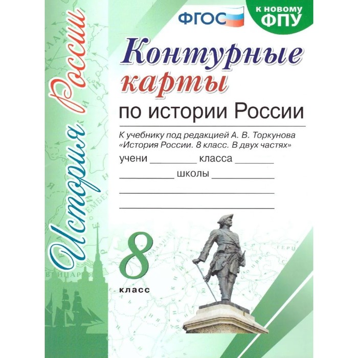
After reading the name of the contour map, find the material on this topic in the textbook, look at the card in the textbook or in the atlas of the history of Russia for the 6th grade. All this will help you correctly complete the tasks given on the contour map or proposed by the teacher.
sign the rivers along their channel, the city - near the conditional sign (Punch), which denotes the city. Try to make your signatures clearly and accurately, you can in print letters, and bargaining with colored pencils, but not bright, otherwise the signatures and conditional signs that you will use will not be visible.
Work with a contour map be sure to start by signing the names of the seas, rivers, lakes - these geographical objects will help you navigate when completing tasks on history. Do it also using a textbook or atlas.
Do not copy the atlas on history, apply only those objects, signs, inscriptions, dates, etc., which are mentioned in the task. Come up with your symbols or use the designations from the atlas and textbook. Choose pencils of different colors.
Performing tasks, you repeat and remember the dates, sequence of certain historical processes, events, their course and results. All this will undoubtedly be useful to you in the lesson and in the future, when passing the offset or the main state exam.
| Characteristics | |
| A country | Russia |
| Author | There is no author |
| Classroom | 8 |
| Compliance with the standard (GEF) | Yes |
| Editor | Pavlova N.V. |
| Kit | No |
| Number of pages | 16 |
| School subject | Story |
| The year of publishing | 2023 |
| Type of cover | Soft binding |
There are no reviews for this product.
Tags: Atlases and contour maps (toys), atlases and contour maps (books), atlases and contour maps (holidays)