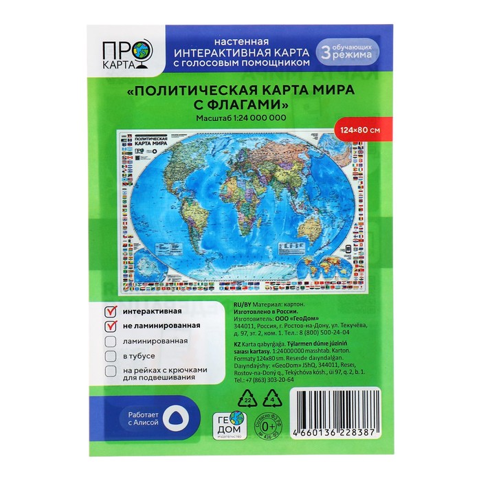
Wall map "Political world with flags", geod, 124x80 cm, 1:24 million
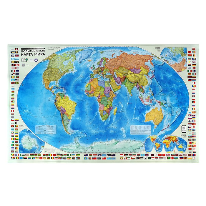
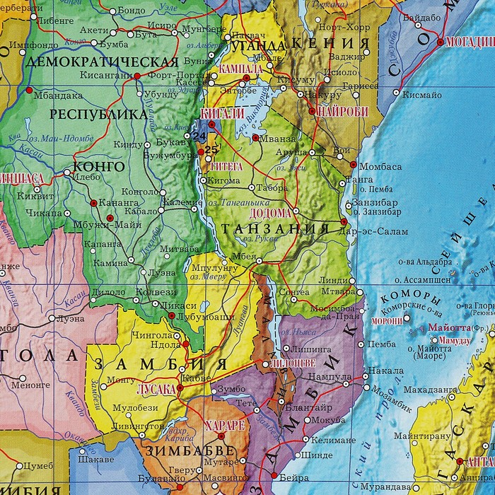


The political map of the world in detail reflects the modern political and administrative structure of the world, and the boundaries of states are given. The territories of states are allocated by color. The settlements are displayed by the number of residents and administrative significance, the main ground -based posts and shipping channels are shown. The peculiarity of this map is that, in addition to geopolitical information, it is the symbolism of the world of the world. The state flags of the countries of the world are grouped for each continent.
are given cards-cuts of the northern and southern polar regions, as well as a population density map.
design: high-strength cardboard + waterproof matte varnish.
| Characteristics | |
| A country | Russia |
| Features of the card | Without features |
| Length, see | 80 |
| Width, see | 124 |
There are no reviews for this product.
Tags: Political (holidays)